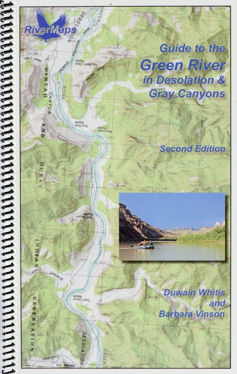
RiverMaps Green River in Desolation & Gray Canyons Guide Book
$28.95
In stock: 1 available
Save this product for later
RiverMaps Green River in Desolation & Gray Canyons Guide Book
Product Details
UPC: 9780991389681
CUSTOM_SKU: 66201.02.100
RiverMapsTM map books “go with the flow”. Each map is oriented so the river flows upward on the page like you’re looking downstream. No more turning your map upside down or twisting your head to read it.
These high-quality spiral-bound guidebooks are offset-printed on plastic pages measuring 8-1/2 x 14 inches. The covers are plastic card stock. The entire book is waterproof and tear-resistant (but not indestructible!). The guidebooks include mile-by-mile descriptions of campsites, rapids, and points of interest and include many color photographs. The spiral bindings and stiff covers make them lay flat and easy to use.
They are printed with USGS 7.5′ topographic maps as the background at the original map scale of 2,000 feet per inch.
Special notes on this river:
Please note that lands within the Uintah and Ouray Indian Reservation on river left (limits are shown on the maps) are closed to camping, hiking, site seeing and collecting. Per the Ute Tribe website: “All those who trespass are subject to prosecution, fines and seizure of property.” Permits are not currently available.
55.5 Mile Camp on river left is overgrown. We are revising this to show a camp at mile 55.7 (0.2 miles upstream) on river left. This camp has a large beach with scattered trees. Low water access may be difficult across shallow cobbles.
Customer reviews
Reviews only from verified customers
No reviews yet. You can buy this product and be the first to leave a review.
Powered by Lightspeed
Display prices in:USD